
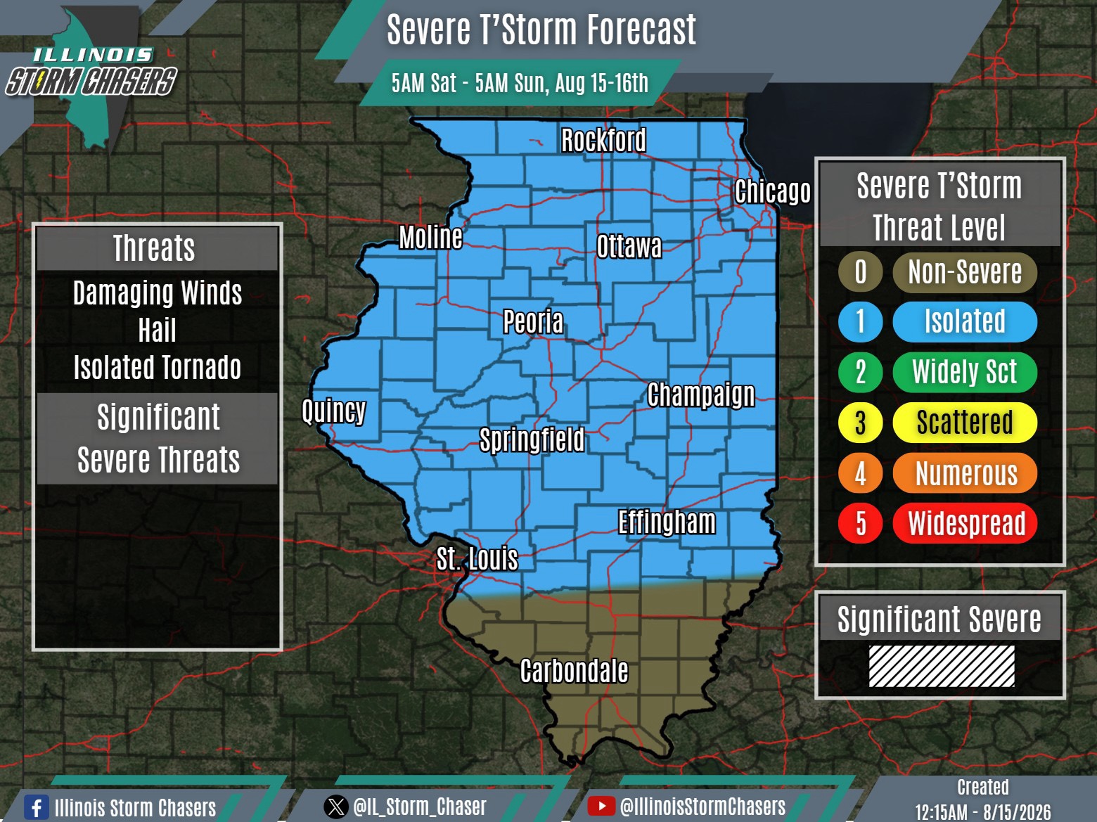
(12:15AM – Saturday, August 15th, 2026)
Severe Weather Threat Saturday/Saturday Night ⚡
Widespread rain/t’storm activity will be ongoing across portions of Northern and much of Central Illinois on Saturday morning, as activity from tonight (Friday night) lingers.
In the wake of this activity, an isolated t’storm cannot be ruled out across the state during the afternoon and evening.
Of more focus will be yet another disturbance (MVC) that will slide through the region. This feature will be of focus for another round of t’storm/severe t’storm develop on between later Saturday afternoon and early Saturday night across Iowa, Northern Missouri and vicinity. This activity may congeal or grow upscale into a complex, which would then track across a chunk of Northern and Central Illinois Saturday night. A severe weather threat will accompany this activity, isolated in coverage.
#ilwx #severeweather
