
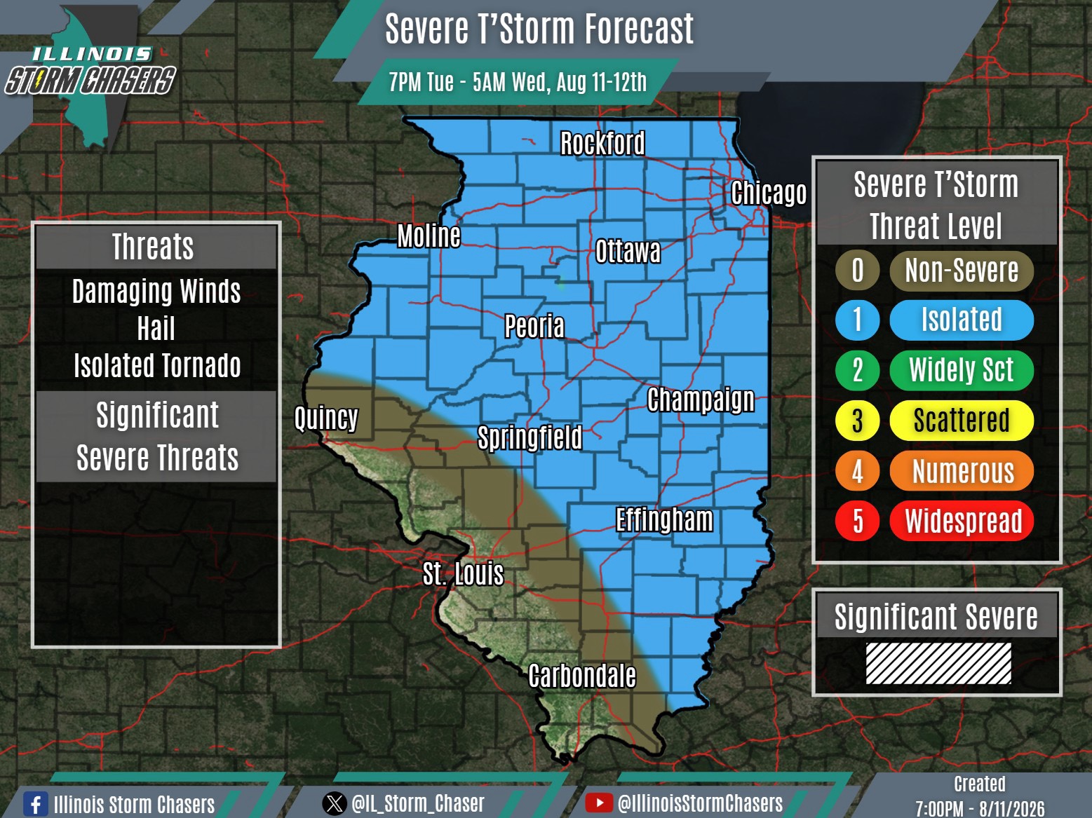
(7:00PM – Tuesday, August 11th, 2026)
Tuesday Evening Severe Weather Forecast Update ⚡
In the wake of the severe weather that impacted portions of Northern and Eastern Illinois from this morning into the afternoon—including the derecho—it has been fairly quiet across the state since.
Attention now turns toward tonight…
Another wave/disturbance is crossing Iowa this evening and may become the focal point for a new round of showers and t’storms. While there are mixed signals within weather guidance regarding the extent of development, it does appear that another round of showers/t’storms may develop across portions of Iowa, Southern Wisconsin and Northern Illinois tonight. Depending on the coverage and organization of development, some upscale growth into a complex may be possible as well. Northern Illinois will be the most favored area for activity tonight, though some activity could potentially sneak farther south into portions of Central and Southeastern Illinois late.
Some severe weather threat will accompany this activity, likely on the order of isolated coverage. Given the repeated rounds of heavy rainfall over the past few days, localized flooding will also be possible..
The setup for tonight is actually not all that different from last night, when a few showers and t’storms traversed portions of Northern Illinois during the overnight and pre-dawn hours.
#ilwx #severeweather #flooding
