
(10:00AM – Tuesday, March 31st, 2026) Severe t’storm threat continues through later tonight/early Wednesday morning…
⚠️Update…
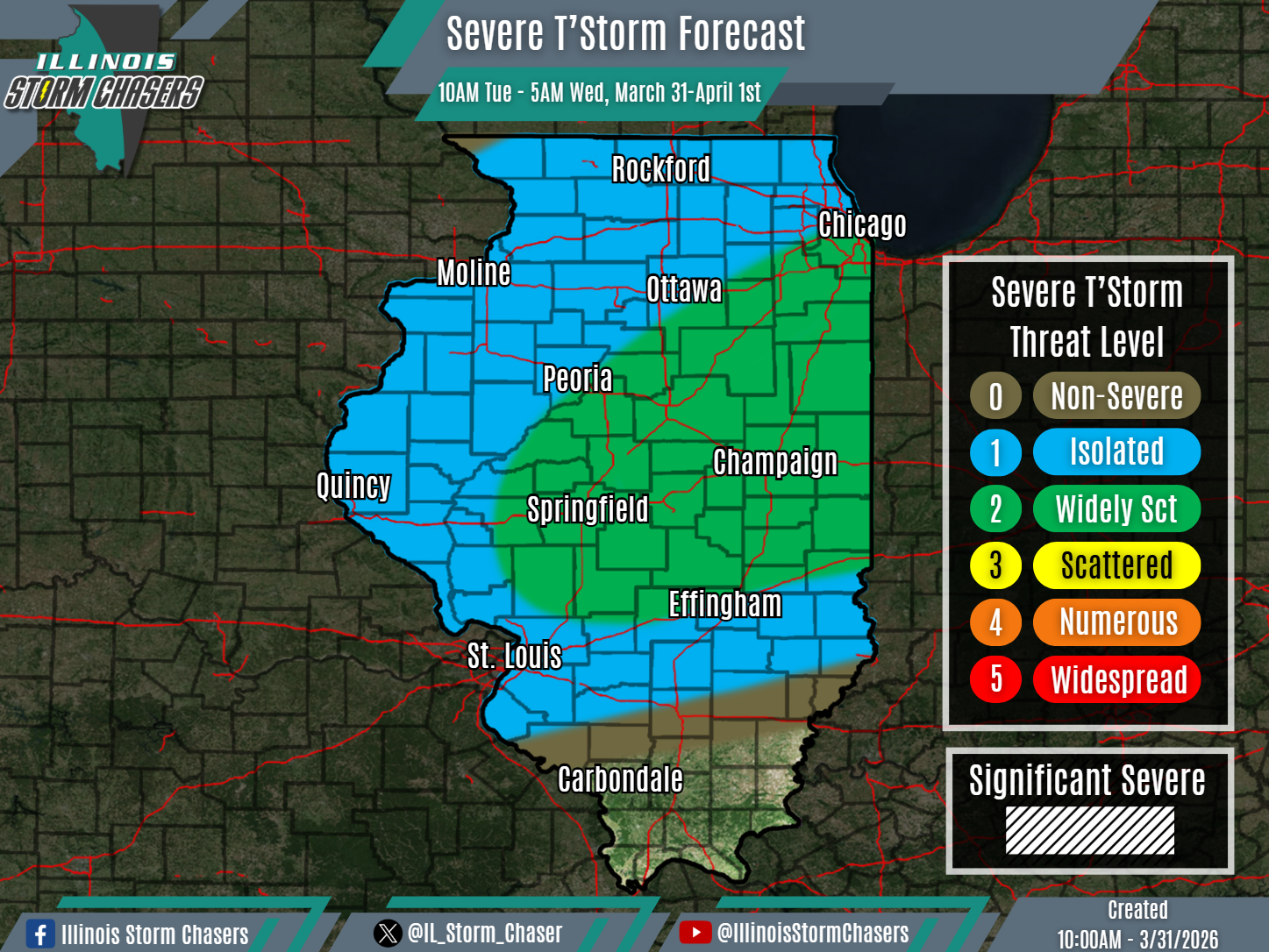
•With this updated, we have increased severe t’storm probabilities to a level 2 threat across portions of Northeastern and Central Illinois, to account for slightly higher severe t’storm coverage.
⏰📍Timing & Location…
•This Morning – Early Wednesday Morning, March 31-April 1st: Northern & Central Illinois.
⚡️Hazards…
•A level 1 to 2 severe t’storm threat is in place across Northern and Central Illinois from this morning through early Wednesday morning, for the threat of isolated to widely scattered severe t’storms. Large hail and damaging winds will be the main threats.
✔️Summary…
•Scattered shower and t’storm activity from overnight has lingered into this morning across portions of Northern and Central Illinois, where some severe t’storm activity has been noted as well. This activity, along with additional development, will continue to traverse Northern and Central Illinois through the day and into tonight. Eventually, some of this activity may even push into the northern reaches of Southern Illinois as well. Overall, a severe t’storm threat will remain likely with this activity today and into tonight.
